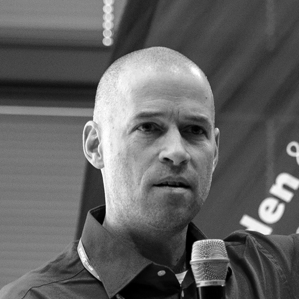
The talk sets out with a really very short introduction to geospatial data and software. Then it tells the story of how Open Source GIS developers founded the geospatial standards organization OGC in the early 1990s, long before the term “Open Source” was even coined.
The story goes on to describe how Open Source geospatial activists founded OSGeo in 2006, why the current big topic is Open Data and how it all ties together.
This need for openness is intrinsic to geospatial because any location makes sense only relative to other location data. Interoperability is a must.
Link to the presentation: http://metaspatial.net/conferences/open-geospatial-history.html


